16 km (45 minutes by car – 1 hour on bike)
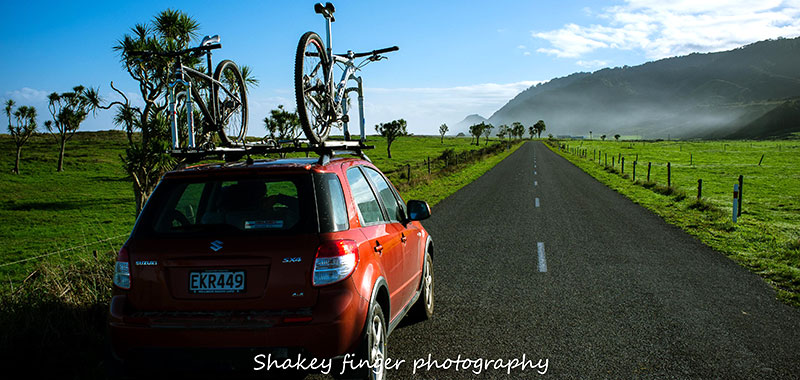
This section of the journey is mostly sealed, flat road through farmland.
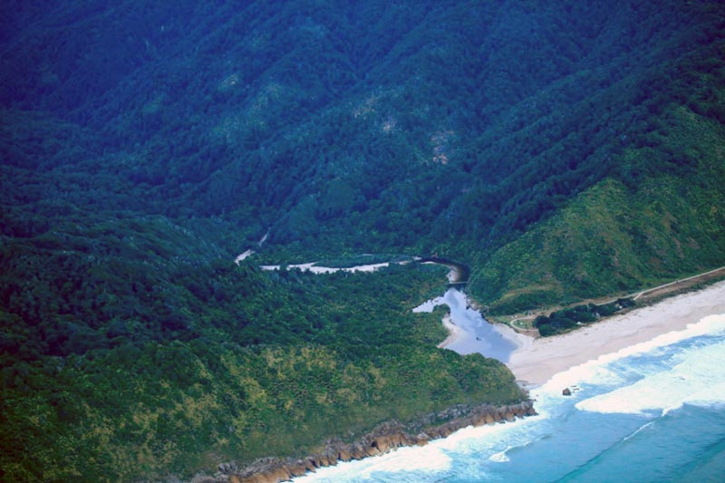
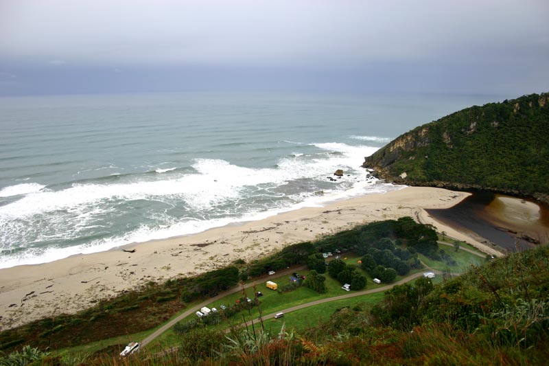
The Kohaihai River is great for safe swimming, please swim in the river as the sea is very dangerous and there are strong currents, rips and undertows.
Kohaihai is a sandfly hot spot, so please bring sandfly repellent to deter the friendly critters from dining on your haemoglobin.
The section of the track near Koura (Crayfish) Point between Kohaihai and Heaphy Hut can be dangerous at high tide, so please check tide times and plan your trip to ensure you are not crossing this section at two hours either side of high tide. Printable High Tide Tables are available for download from the Department of Conservation.
View Larger Topographic Map at NZ Topo Map
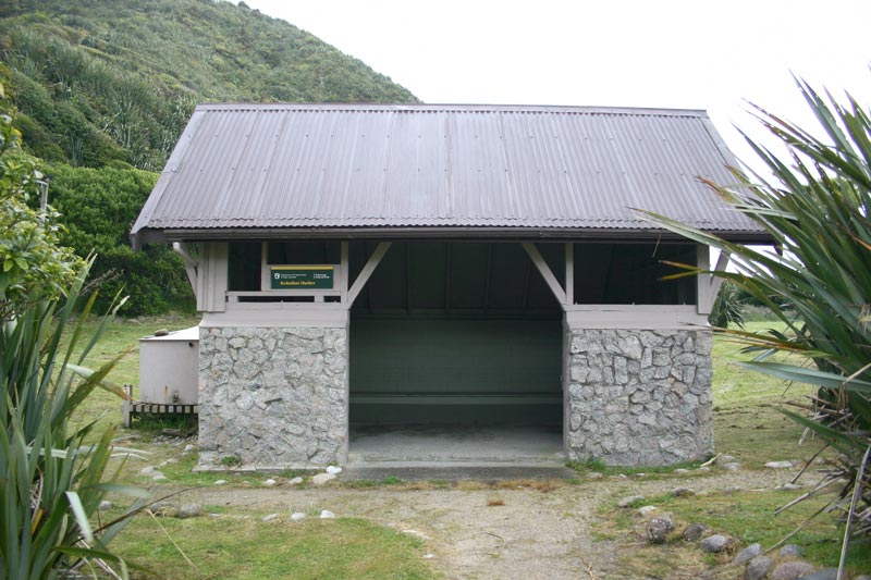
Related: Kohaihai Shelter & Campsite | Karamea | Short Walks | Transport